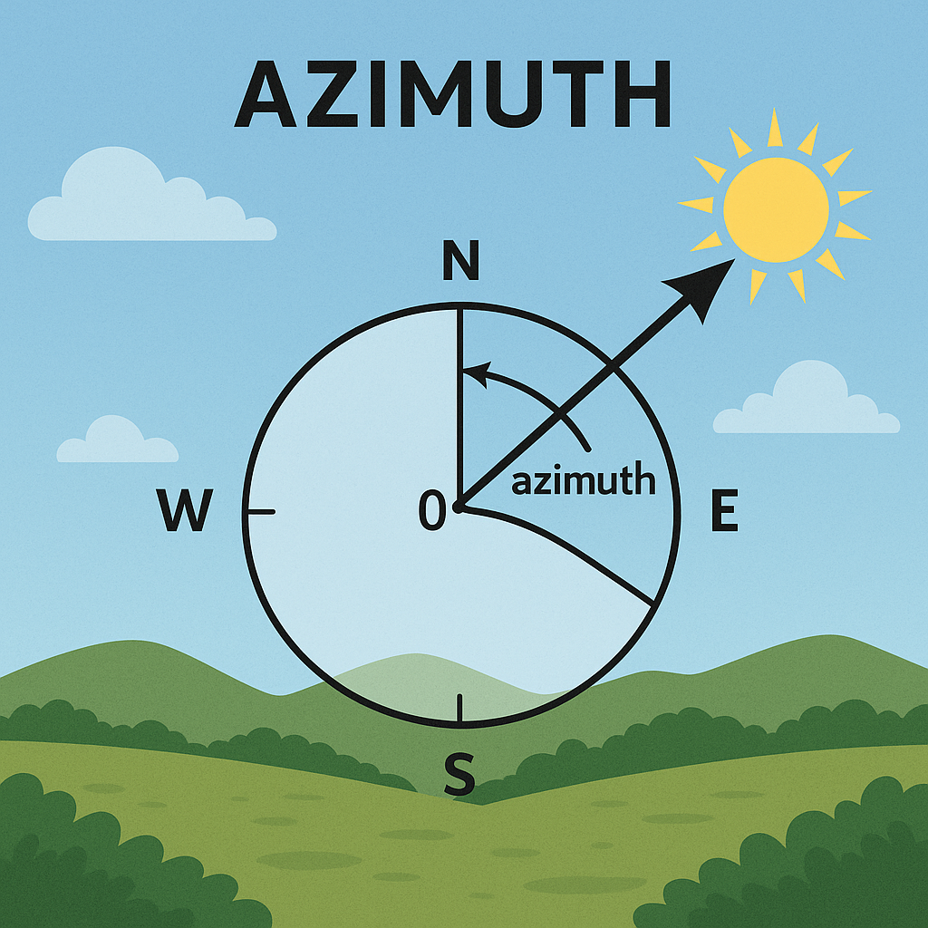
Understanding Azimuth is crucial to our ability to manage vegetation and stop wildfires. Azimuth is simply the angle, expressed in degrees ranging from 0° to 360°, between a fixed point (often true north) and the direction you are observing. It indicates the direction that an object is facing.
When examining landscapes, it is particularly crucial to comprehend direction. Certain terrain portions or slopes, such as those facing south or southwest, tend to receive more sunshine and dry out more quickly in wildfire-prone locations. Determining their azimuth aids in prioritizing where to remove vegetation or conduct closer monitoring because these places are more likely to catch fire.

Drone photography and remote sensing also make use of azimuth. The direction of the sun and the sensor have an impact on how vegetation appears in photos taken by drones or satellites. Inaccurate evaluations of fire risk could result from vegetation that appears healthier or drier than it actually is when azimuth is ignored.
Fire protection teams can produce more precise maps of arid, fire-prone regions by integrating azimuth with vegetation indices and temperature data. In the end, this lowers the risk of wildfires before they occur by assisting them in making more informed judgments about where to act.
To put it briefly, azimuth is a critical measure needed for creating accurate ground truth data needed to train wildfire risk models.
